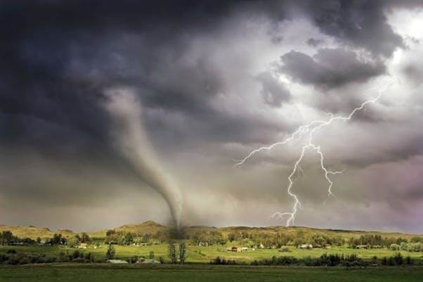
Tornadoes are among the most destructive natural disasters, capable of reshaping landscapes and communities within minutes. While scientists cannot prevent tornadoes, they can study their patterns to improve preparedness and response.
Table of Contents
A tornado frequency map is one of the most effective tools for understanding where tornadoes are most common and how often they occur. By analyzing these maps, researchers, policymakers, and the public can gain insights into risk zones, seasonal patterns, and long-term climate influences.
What Is a Tornado Frequency Map?
A tornado frequency map is a visual representation of how often tornadoes occur in specific regions. Typically, these maps use color codes or shading to indicate areas with higher or lower tornado counts. They are compiled using historical tornado records, meteorological data, and advanced modeling techniques. Unlike single-event weather maps, a tornado frequency map provides long-term insights into tornado activity, helping people understand both regional and seasonal risks.
How Tornado Frequency Maps Are Created
The accuracy of a tornado frequency map depends on the quality and length of historical data. Meteorologists and climate scientists collect information from weather radars, storm spotters, and satellite imagery. Data sources include:
- Historical tornado databases: These contain records of tornado intensity, path, and damage.
- Geographic Information Systems (GIS): Used to layer data and create precise maps.
- Climate models: Provide projections for how tornado patterns may shift in the future.
By compiling these elements, a tornado frequency map offers a comprehensive picture of tornado activity across regions and timeframes.
Tornado Alley and Beyond
When most people think of tornadoes, “Tornado Alley” in the central United States comes to mind. States like Texas, Oklahoma, and Kansas consistently show high activity on any tornado frequency map. However, these maps reveal that tornadoes are not confined to the central plains. In fact:
- The southeastern U.S., particularly Mississippi and Alabama, also ranks high in tornado frequency.
- Northern states like Minnesota and Wisconsin see significant activity during summer months.
- Tornadoes occur worldwide, with notable hotspots in Argentina, Bangladesh, and parts of Europe.
A tornado frequency map reminds us that while some regions are more prone than others, no place is entirely free from risk.
Seasonal and Geographic Patterns
A key feature of any tornado frequency map is its ability to highlight seasonal trends. For instance:
- Spring and early summer are peak tornado seasons in the U.S., especially in central plains.
- Late fall and winter bring more tornadoes to the Southeast.
- Geographic terrain, such as flat plains, influences where tornadoes form most frequently.
By tracking these seasonal changes, a tornado frequency map helps both researchers and the public anticipate when and where tornadoes are most likely to occur.
Why Tornado Frequency Maps Matter
The importance of a tornado frequency map extends far beyond academic interest. These maps serve critical purposes:
- Risk assessment: Homeowners, businesses, and communities use them to understand vulnerability.
- Urban planning: City developers and engineers can design safer buildings in high-risk area.
- Insurance decisions: Companies rely on tornado data to assess premiums and claims risk.
- Disaster preparedness: Emergency managers use maps to develop evacuation routes and response strategies.
In short, a tornado frequency map bridges scientific research with practical decision-making.
Climate Change and Shifts in Tornado Frequency
Recent studies suggest that tornado activity may be shifting due to climate change. Warmer temperatures and changing jet streams can influence where and when tornadoes form. For example, some researchers note increased activity in the Southeast compared to the traditional Tornado Alley. A tornado frequency map updated with modern data helps track these shifts, offering insights into how climate change may be altering tornado patterns worldwide.
Using Tornado Frequency Maps in Education and Awareness
Beyond research, a tornado frequency map is a valuable educational tool. Schools and universities use them to teach students about weather systems, geography, and disaster management. Public awareness campaigns also rely on these maps to emphasize the importance of tornado safety. When communities see the risks clearly mapped out, they are more likely to invest in preparedness measures such as safe rooms, warning systems, and emergency drills.
Limitations of Tornado Frequency Maps
While a tornado frequency map is highly useful, it is not without limitations. For instance:
- Older records may be incomplete, especially for rural or sparsely populated areas.
- Some tornadoes go unreported if they occur in uninhabited regions.
- Maps show frequency, but not necessarily the intensity of tornadoes.
Understanding these limitations ensures that people use tornado frequency maps as part of a broader strategy, alongside real-time forecasts and emergency alerts.
Conclusion
A tornado frequency map is much more than a scientific chart it is a tool that saves lives. By highlighting where tornadoes occur most often, these maps help communities prepare, policymakers plan, and scientists track long-term climate impacts. As extreme weather events become more unpredictable, the role of a tornado frequency map in guiding awareness and resilience is more crucial than ever. Whether used for education, risk assessment, or emergency planning, it provides a powerful way to turn data into action.